ILS
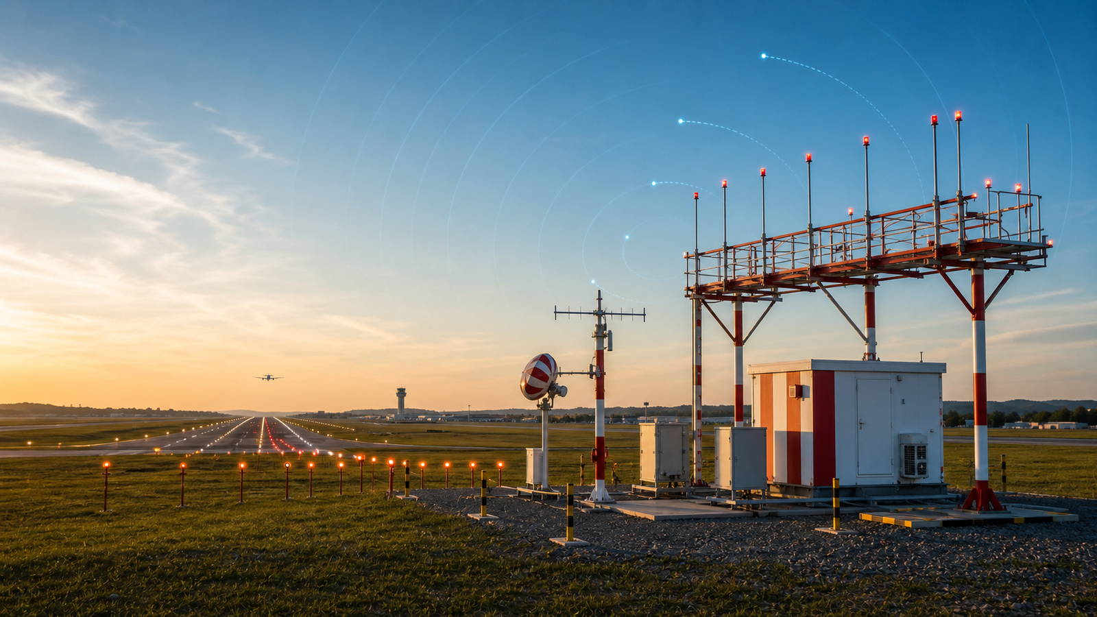
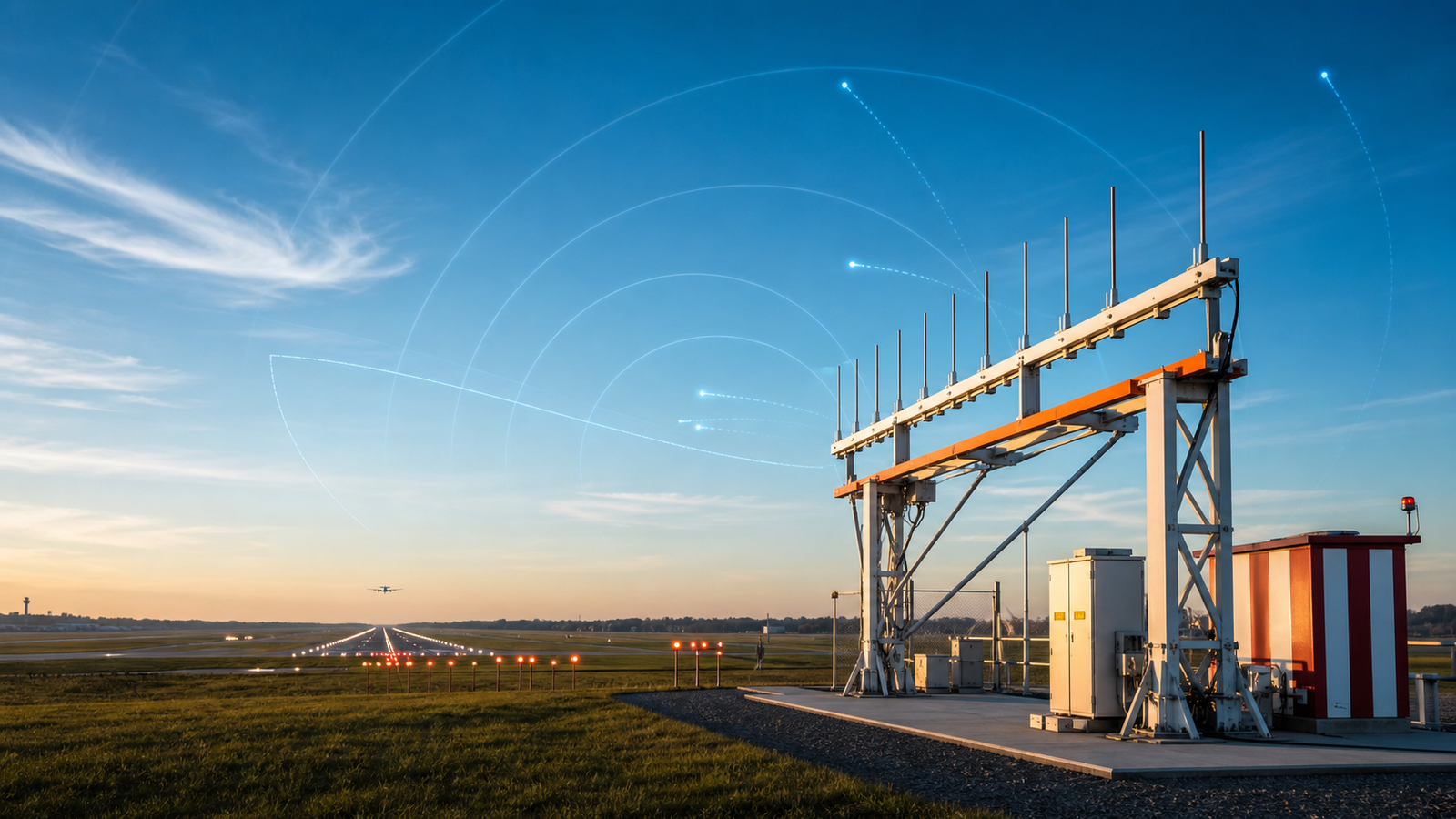
Precision Instrument Landing System (Categories I, II and III) that provides lateral and vertical guidance to aircraft during approach and landing, ensuring safe operations in low visibility conditions.
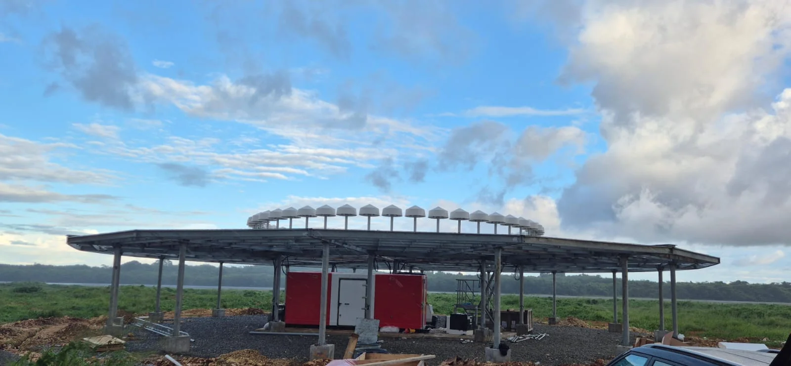
Precision systems ILS, DVOR/CVOR, DME, Glide Slope, among others. Integrated under ICAO regulations to guarantee the safety of the national airspace.
Navaids are at the core of instrument air navigation. We supply, install, and maintain radio signal systems that allow aircraft to follow highly accurate guidance paths, with end-to-end support ranging from setup and integration to calibration flights and operational optimization.
Design and modernization of infrastructure for precision approaches and routes in controlled airspace.
Comprehensive engineering, supply, installation and maintenance. Includes civil works, technical infrastructure and support during calibration flights.
Our engineers are ready to design the infrastructure your aerodrome needs.
Get a quoteAdvanced equipment for all phases of flight, from en-route to final approach.
Precision Instrument Landing System (Categories I, II and III) that provides lateral and vertical guidance to aircraft during approach and landing, ensuring safe operations in low visibility conditions.
VHF Omnidirectional Range fundamental for en-route navigation and non-precision approaches. Provides reliable magnetic heading information to the aircraft relative to the ground station.
Doppler VOR, a technological evolution of the conventional VOR that uses the Doppler effect to provide a navigation signal with greater precision and resistance to interference caused by obstacles or terrain reflections.
Automatic Dependent Surveillance-Broadcast. Advanced technology that allows aircraft to determine their position via satellite navigation and broadcast it periodically, enabling it to be tracked by ground stations and other aircraft.
Distance measuring equipment that provides precise information on the separation between the aircraft and the ground station. It is frequently installed alongside ILS or VOR systems to complement navigation data.
Tactical air navigation system designed to optimize flight routes in highly demanding operations. Provides precise orientation and distance data, being fundamental for military aviation.